Our Blog
Stay up to date with the latest news, tips, and insights from our team.
Rural SurveyingPrecision AgricultureSFI Compliance
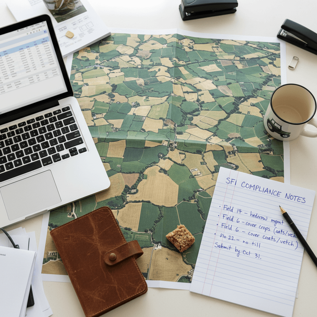
SFI 2026 Drone Survey Requirements: The Definitive Guide to Compliant Field Data
Learn how to meet SFI 2026 drone survey requirements with our definitive guide to field data. Discover the best practices for aerial mapping and RPA evidence.
SFI Land Solutions·Jun 2, 2026

RTK Accurate Field Boundary Drone Mapping: Why Centimetre Precision is Critical for SFI26
Precision is key for SFI26 success. Learn how RTK drone mapping provides the centimetre accuracy needed for defensible field boundaries and digital maps.
SFI Land Solutions·May 30, 2026