RTK-accurate field boundaries and NDVI crop health maps
These terms govern every job we take on. Have a read so you know exactly how things work.
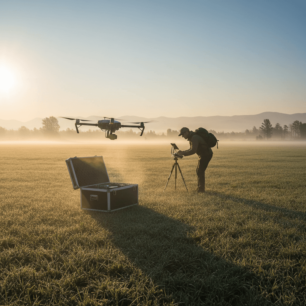
The sight and shape of your fields, captured from above
We fly the DJI Mavic 3 Multispectral over your fields so you get the data you need, not a heap of raw files you have to figure out yourself.
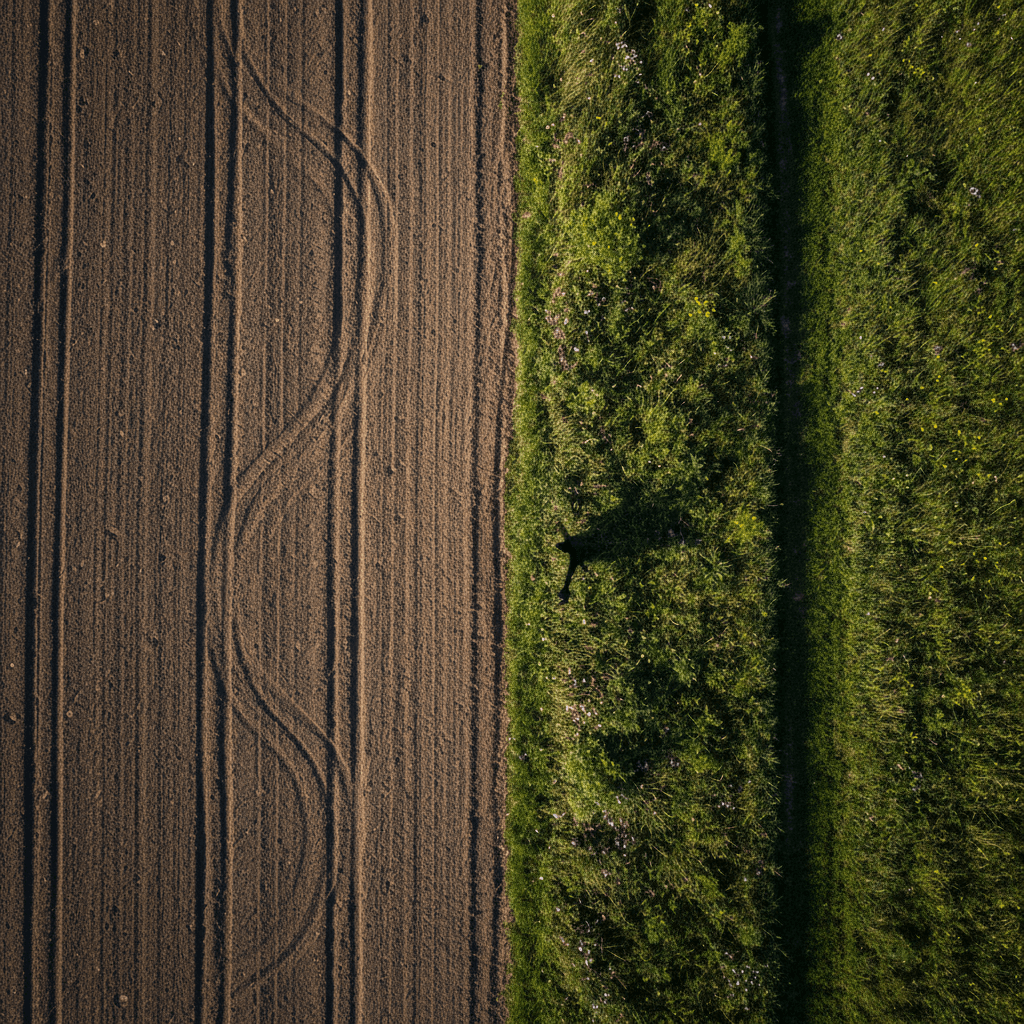
RTK-accurate field boundaries
A clean polygon of every field edge, surveyed to within 2-3 cm.
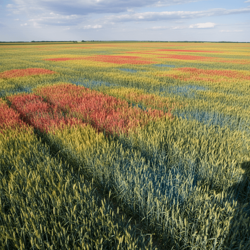
NDVI crop health maps
Green-to-red visuals that show where your crop is thriving and where it needs attention.
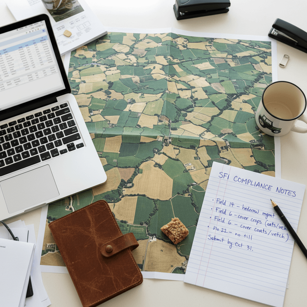
SFI-ready compliance data
Data packaged for Sustainable Farming Incentive submissions, not an extra project.
48-hour turnaround
Fly date to final data drop in two business days. No waiting weeks.
We charge by the field, not by the hour. Here's why.
Most competitors bill for their time. We bill for the data you need. Aa flat fee per hectare, no surprises, no clock watching. That way, you know exactly what your project costs before we launch.
What happens if the weather turns bad on my flight day?
We monitor conditions closely and will reschedule your flight at no extra cost if rain, high winds, or low cloud prevent safe data capture.
You keep full rights to your data, always
We capture the multispectral files and the processed maps, but you own everything. NDVI layers, RTK boundaries, SFI-ready reports — they're yours to use, share, or store however you need.
The SFI Land Solutions liability disclaimer
We operate throughout the Midlands, Leicestershire, and Northamptonshire — with fast, local coverage right across the Market Harborough area. Using DJI Mavic 3 Multispectral drones, we capture precise field data wherever you need it. Our liability covers the data we deliver, not the decisions you make from it. You apply our NDVI maps and SFI-ready outputs using your own professional judgement.