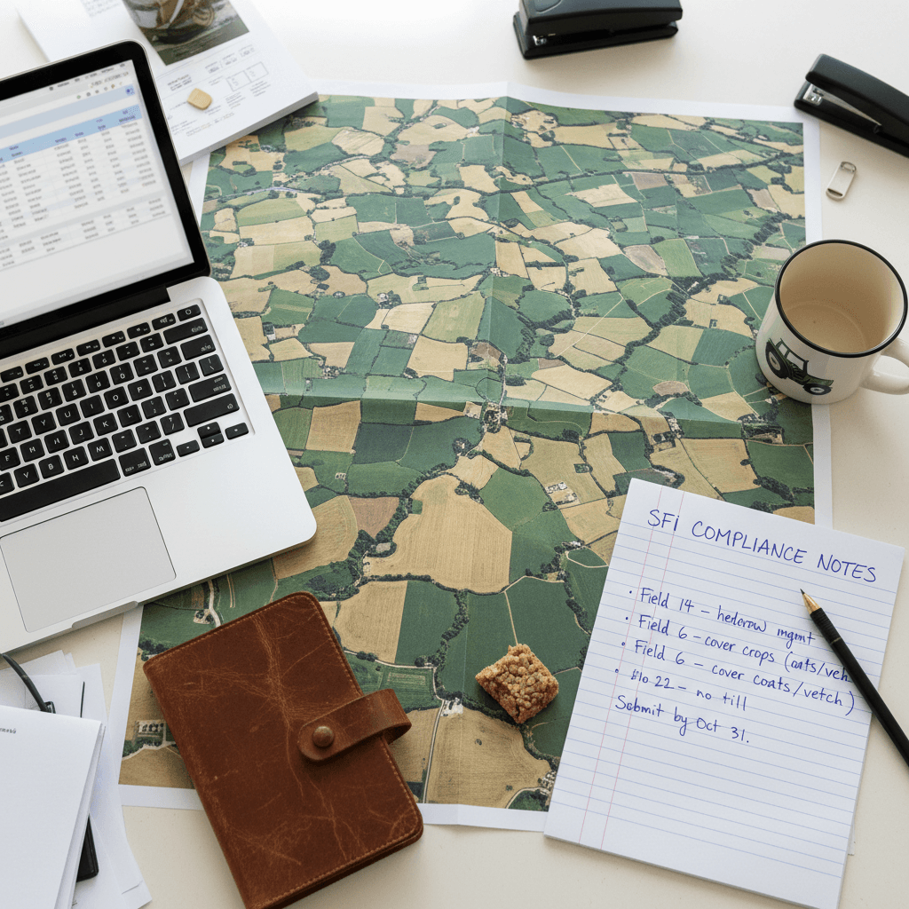
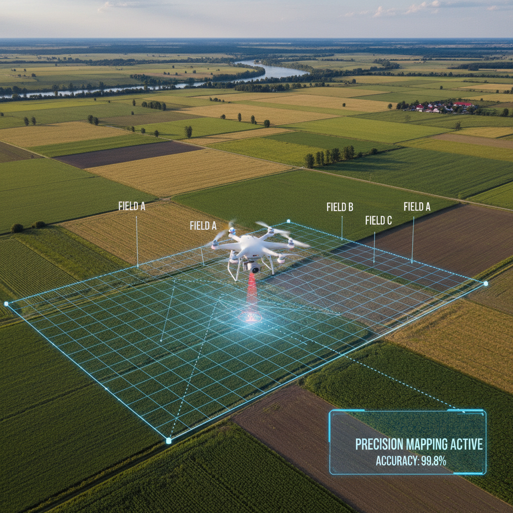
RTK accurate field boundary drone mapping provides the centimetre-level precision necessary to validate land covers and area caps for a defensible SFI26 application. This high-resolution data ensures digital maps meet strict government eligibility requirements; it minimizes the risk of application errors or payment delays caused by inaccurate land records.
Relying on standard GPS for field boundary mapping is a gamble that rural surveyors and land managers can no longer afford to take. When a few metres of signal drift can result in rejected SFI applications or costly boundary disputes, "close enough" is no longer a viable professional standard. At SFI Land Solutions, we recognize that defensible data is the bedrock of successful land management; precision is the only way to ensure compliance and maximize claim values. In this guide, we examine the critical accuracy gap between consumer grade GPS and RTK drone mapping. You will discover how our specialized DJI Mavic 3 Multispectral hardware secures your SFI26 applications, our efficient forty eight hour delivery workflow, and our transparent pricing model designed specifically for rural professionals. Moving toward centimetre precision is about protecting your reputation and your clients' assets.
The Accuracy Gap: Standard GPS vs RTK Drone Mapping
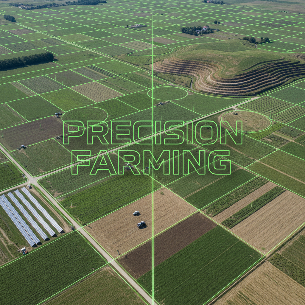
The fundamental limitation of standard GNSS or GPS systems lies in atmospheric interference and signal timing errors. While a standard consumer drone provides a convenient perspective, its internal positioning usually suffers from a horizontal drift of 3 to 5 metres. For an agronomist or surveyor, this margin of error represents the difference between a precise map and a rough estimate. If a boundary line shifts five metres, it can misrepresent significant acreage across a large estate, rendering the data unreliable for formal applications.
Our approach bridges this gap using Real-Time Kinematic (RTK) technology. Unlike standard GPS, the RTK module on our DJI Mavic 3 Multispectral maintains a continuous live link with a reference base station or a high-precision network. This system calculates corrections for satellite signal errors instantly. By comparing the satellite data with a known fixed point, the drone reduces positioning errors to a horizontal precision of 1 to 2 centimetres. You can learn more about our drone technology and how we integrate these modules into our workflow.
A critical differentiator for our operations in Leicestershire is the "Real-Time" component of RTK. Some providers use Post-Processed Kinematic (PPK) methods, which verify accuracy only after the drone has landed and the data is processed in an office. At SFI Land Solutions, we confirm centimetre-level precision while we are physically on site at the farm in Market Harborough. This immediate validation ensures that the RTK accurate field boundary drone mapping we capture is correct before we leave the field, providing a level of certainty that standard GPS simply cannot match.
Why Rural Surveyors Cannot Risk Standard GPS for Field Boundaries
For rural surveyors and agronomists across Leicestershire, the margin for error in land measurement is remarkably thin. When providing professional advice on land valuation or drafting new tenancy agreements, the data must reflect the physical reality of the holding. Standard GPS drone imagery frequently creates "ghost" boundaries; digital lines that appear to float several metres away from the actual hedgerows, ditches, or stone walls they are meant to define.
This discrepancy is more than a technical annoyance. A five metre shift in a boundary line can significantly alter the calculated acreage of a land parcel. In high stakes agricultural mapping, even a minor miscalculation of area can lead to disputes over rent reviews, capital valuations, or the misallocation of inputs. Professional indemnity and client trust rely on precision. Relying on consumer grade positioning tools introduces a liability that most rural firms cannot afford.
The Royal Institution of Chartered Surveyors (RICS) provides clear benchmarks for spatial data. To meet these professional standards, digital mapping should ideally achieve a horizontal and vertical accuracy of 2 to 3 centimetres. SFI Land Solutions utilizes RTK accurate field boundary drone mapping to meet and exceed these requirements. By achieving centimetre level precision, we ensure that the digital twin of a farm in the Midlands aligns perfectly with its physical counterpart.
This level of detail is essential for complex field shapes common in our region. When a surveyor uses our data, they are not just looking at a high resolution image; they are working with a georeferenced dataset that stands up to scrutiny. Providing this level of accuracy allows consultants to offer transparent flat-fee pricing to their clients, knowing that the data is definitive and won't require costly manual corrections or site revisits. Ensuring that every parcel is accounted for correctly today prevents the administrative and legal headaches of tomorrow.
Securing SFI26 Applications with Defensible Digital Maps
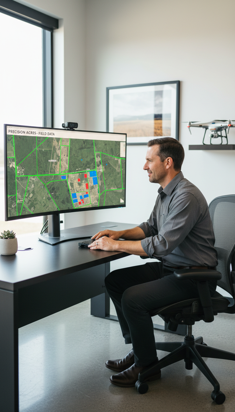
The transition into the Sustainable Farming Incentive (SFI) 2026 marks a shift toward more rigorous digital compliance. For agronomists and consultants, the opening of Window 1 in June 2026 represents a critical deadline. Because this window operates on a first come, first served basis, any delay in the application process could result in a farm missing out on funding if the national budget is exhausted early. The Rural Payments Agency (RPA) requires that digital maps are 100% correct before an application is even submitted; parcel boundaries, land cover classifications, and total areas must perfectly align with the physical holding.
Inaccuracies in parcel boundaries are a leading cause of application rejections or administrative delays. When a digital map on the RPA system does not match the actual ground reality, it triggers a query that can stall an application for weeks. By utilizing RTK accurate field boundary drone mapping, we provide the precision required to ensure that the 3ha minimum agricultural land requirement and subsequent parcel actions are indisputable. This accuracy is particularly vital when dealing with the £100,000 annual cap per Single Business Identifier (SBI), as every centimetre of recorded land contributes to the final calculation of eligible funds.
A core component of a successful SFI26 submission is the concept of a defensible application. This framework is built on the principle that every pound of funding is tied directly to delivery. If Defra audits a claim, the land manager must provide a realistic evidence plan that includes geo-tagged data, operation logs, and precise mapping. Our RTK level data creates a bulletproof foundation for this evidence. Instead of relying on outdated satellite imagery or imprecise standard GPS, our maps offer a high resolution, georeferenced record of exactly where actions are being carried out.
Having this level of data ready before June 2026 allows consultants to move quickly when the window opens. It eliminates the guesswork and the need for retrospective corrections. To ensure your clients are prepared for the first round of applications, you can contact us for 48-hour turnaround on all mapping projects in the Midlands. This proactive approach ensures that the digital maps are not just an administrative hurdle, but a robust asset for the long term management of the agreement.
The DJI Mavic 3 Multispectral: Precision Hardware for Leicestershire Farms
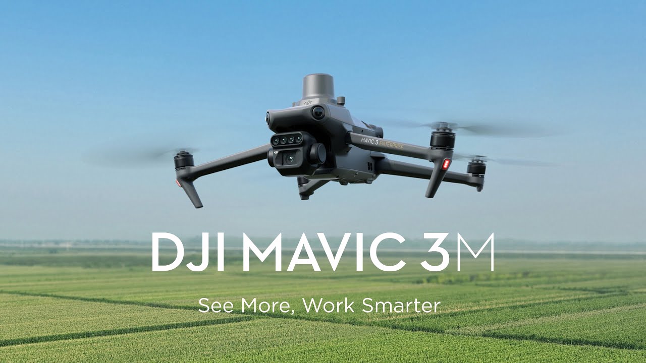
The technical foundation of our service in Market Harborough is the DJI Mavic 3 Multispectral, an enterprise grade platform engineered specifically for precision agriculture. This hardware represents a significant leap forward from standard imaging drones. By integrating a high performance RTK module, the system achieves a horizontal accuracy of 1cm and a vertical accuracy of 1.5cm. For a crop consultant or agronomist, this means the digital data produced is a high fidelity representation of the physical landscape, removing the ambiguity of manual GPS measurements.
Unlike standard aerial cameras, the Mavic 3 Multispectral features a specialized imaging system designed to look beyond what the human eye can see. It combines a 20MP RGB sensor for high resolution mapping with four separate 5MP multispectral cameras. This allows us to capture RTK accurate field boundary drone mapping and NDVI (Normalized Difference Vegetation Index) crop health data simultaneously.
Specification | Capability |
|---|---|
RTK Horizontal Accuracy | 1 cm + 1 ppm |
RTK Vertical Accuracy | 1.5 cm + 1 ppm |
Multispectral Sensors | Green, Red, Red Edge, Near-Infrared |
Integrated Tools | Sunlight Sensor for spectral consistency |
This dual stream data capture provides immediate value during a single site visit. We provide the spatial data required for RPA boundary updates alongside the physiological data needed for precision agronomy. You can read more about our drone technology and how these sensors translate into actionable farm insights. This level of technical sophistication ensures that our deliverables are not just pictures; they are scientific datasets designed for professional use.
From Data Capture to 48 Hour Delivery: The SFI Land Solutions Workflow
Local presence in Market Harborough provides a distinct advantage for firms across Leicestershire and the wider Midlands. Our workflow is designed to move at the speed of modern agriculture; we bypass the weeks long lead times often associated with traditional land surveying. By focusing on an agile, drone based methodology, we ensure that consultants can move from an initial site visit to a completed mapping project in a matter of days.
The process begins with an on site data capture session utilizing the DJI Mavic 3 Multispectral. This hardware allows us to record RTK accurate field boundary drone mapping data with minimal ground based infrastructure. Once the flight is complete, we move immediately into processing. Our firm maintains a strict 48 hour turnaround time for delivering final data packages. This efficiency is a critical differentiator for agronomists and surveyors who need to finalize SFI applications or tenancy agreements under tight deadlines. You can contact us for 48-hour turnaround to secure a slot in our upcoming flight schedule.
The output we provide is technically rigorous and ready for immediate professional application. We deliver data in formats that are directly compatible with the RPA digital mapping system and leading farm management software.
Output Type | Use Case | Compatibility |
|---|---|---|
Shapefiles (.SHP) | Boundary updates and SFI parcel actions | RPA Portal, ArcGIS, QGIS |
GeoTIFF | High resolution NDVI and RGB maps | Gatekeeper, Muddy Boots |
KML/KMZ | Quick reference and field scouting | Google Earth, Mobile Apps |
This structured delivery ensures that the data is not just an image, but a functional asset that can be used to update official records or guide precision farming decisions. By removing the technical friction of file conversion and data cleaning, we allow rural professionals to focus on advising their clients rather than managing digital maps.
Transparent Flat Fee Pricing for Rural Professionals
Traditional surveying and mapping services often rely on opaque, price on application models that create unnecessary friction for agronomists and consultants. At SFI Land Solutions, we replace this ambiguity with transparent flat-fee pricing. This approach allows rural professionals to budget accurately and integrate high-precision data into their own service agreements without the risk of eroding their margins through unexpected costs or complex day-rate structures.
Predictability is essential when managing multiple farm holdings across the Midlands. By providing a clear fee structure, we enable crop consultants to offer RTK accurate field boundary drone mapping as a standard component of their SFI26 preparation packages. There are no hidden extras or travel surcharges for projects within our local Leicestershire service area; the price quoted is the final cost for the data delivered.
Service Feature | SFI Land Solutions | Traditional Surveyors |
|---|---|---|
Pricing Model | Transparent Flat Fee | Quote on Request |
Lead Times | 48-Hour Delivery | Often 2 to 4 Weeks |
Travel Fees | Included (Local) | Variable Surcharges |
Data Format | SFI-Ready Digital | Mixed Formats |
This level of commercial clarity ensures that you can move forward with confidence, knowing exactly how much a mapping project will cost before the drone even leaves the ground. It simplifies the administrative burden for your firm while providing the centimetre level data required for bulletproof SFI applications.
Achieving centimeter-level precision is the foundation of successful SFI26 compliance. By utilizing RTK drone mapping, you ensure every field boundary is captured with the exact accuracy required for modern agricultural standards. This high level of detail protects your data and simplifies the entire reporting process. If you want expert help navigating these technical requirements, you can learn more about our approach and experience. We focus on providing the clarity and support needed to help your land management projects succeed through professional mapping solutions.