Precision crop data, delivered fast.
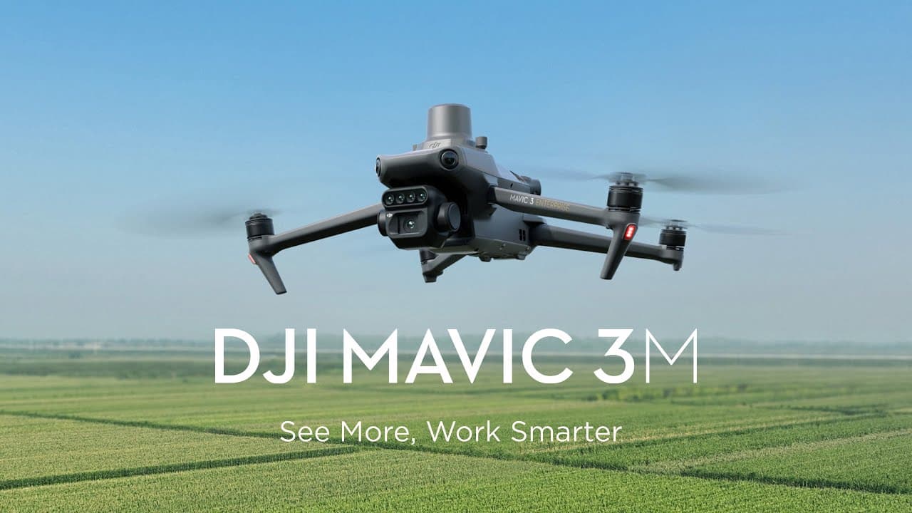
SFI Land Solutions provides RTK-accurate field boundaries and NDVI crop health maps using DJI Mavic 3 Multispectral drones. We deliver actionable insights within 48 hours.
Precision data for agronomists. SFI-ready for your subsidy claims.
Joe Magdi founded SFI Land Solutions in Market Harborough to bridge the gap between drone capability and real field intelligence. We saw agronomists, rural surveyors, and crop consultants working with incomplete data. So we invested in DJI Mavic 3 Multispectral hardware and built a service around speed and accuracy. Today, we deliver RTK-accurate field boundaries and NDVI crop health maps in under 48 hours, with transparent flat-fee pricing. It's agile, professional, and built specifically for the professionals who depend on it.
Precision data. Trusted service. Real results.
We deliver RTK-accurate field boundaries and NDVI crop health maps that agronomists, rural surveyors, and crop consultants rely on for informed decisions.
Accurate field data
RTK-precise field boundaries and SFI-ready datasets you can trust for compliance and planning.

Crop health insights
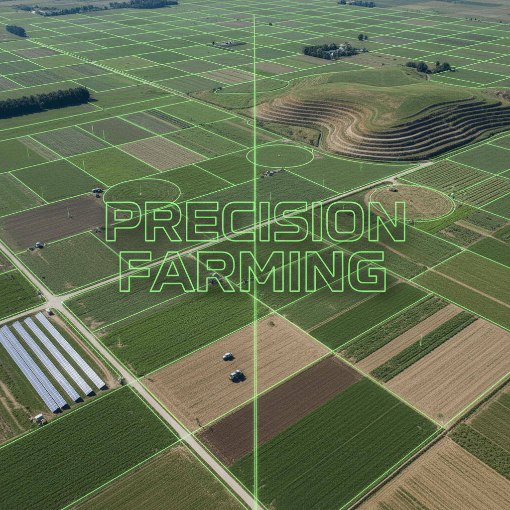
NDVI maps reveal crop stress and variability early, helping you act before problems spread.

48-hour turnaround
We capture, process, and deliver your data fast. Minimal delay between flight and analysis.

Transparent pricing
Flat fees with no hidden costs. You know exactly what you're paying before we start.

Built for your workflow
Data formats and deliverables tailored to agronomists, surveyors, and crop consultants.
Local expertise
Based in Market Harborough, we understand the Midlands landscape and your regional needs.
Meet the people driving SFI Land Solutions
A small, focused team dedicated to delivering accurate drone data and reliable service to agronomists, rural surveyors, and crop consultants across the Midlands.
Founder and Drone Pilot
Joe Magdi
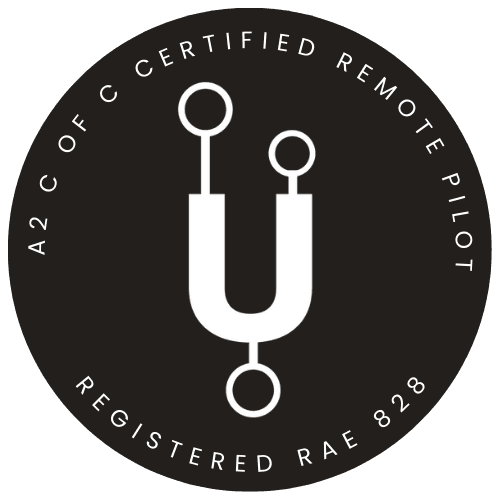
Joe is a fully insured commercial operator holding a CAA A2 Certificate of Competency (A2 CofC).
Ready to capture accurate field data?
Contact SFI Land Solutions today to book a flat-fee flight for sites under 50ha, or to request a custom quote for larger estates.