Flat-fee pricing that scales with your field size
We charge one transparent price based on hectares surveyed, not hidden add-ons. Rapid turnaround means data in your hands within 48 hours, every time.
Flat-fee pricing for sites up to 50 hectares
Two service options. No hidden costs. Choose raw data or fully processed insights tailored to your needs.
Flight-Only
Raw multispectral imagery and RTK-accurate boundaries. Process the data yourself or hand it to your team.
Flat-fee from £299
RTK-accurate field boundaries
Raw multispectral imagery
Imediate turnaround
Delivered via secure link/SD card
Fully Processed
NDVI crop health maps, field boundaries, and SFI-ready data. Ready to use immediately after delivery.
Flat-fee from £549
Everything in Flight-Only
NDVI crop health maps
SFI-ready data package
The Land App-ready Boundary Shapefiles (.shp) for Capital Grant applications.
Custom Package
Multiple fields, larger sites, or specific data needs. We tailor pricing and deliverables to your requirements.
Contact for quote
Sites over 50 hectares
Multiple field surveys
Specialized data outputs
Ongoing season monitoring
Accurate data. Fast delivery. SFI-ready.
Each service delivers the precise field intelligence you need to make confident agronomic decisions with RTK accuracy and rapid turnaround.
RTK field boundaries
Centimetre-accurate field perimeters mapped using RTK-GPS technology, ready for SFI compliance and farm management systems.
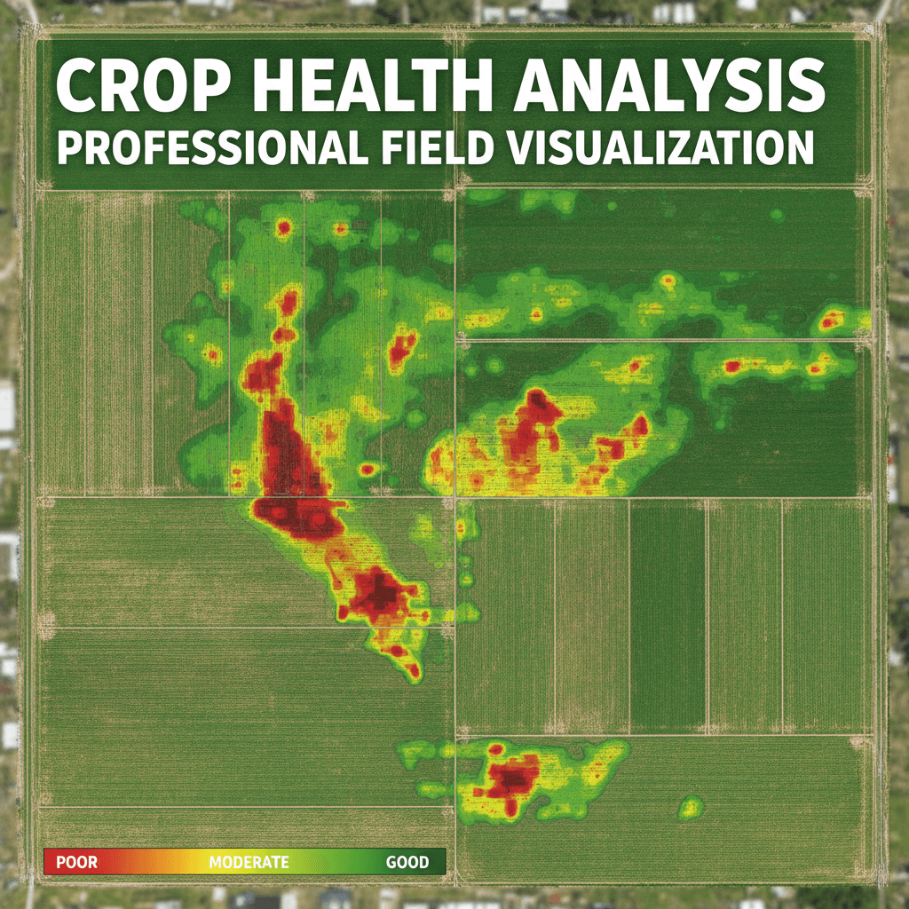
NDVI crop health maps
Multispectral analysis showing crop vigour and stress patterns across your field, enabling targeted agronomic intervention.
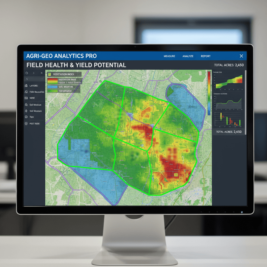
SFI-ready data package
Fully processed geospatial data formatted and georeferenced to meet Sustainable Farming Incentive scheme requirements.
48-hour turnaround
Flight-to-analysis in one day. We capture, process, and deliver your data fast so you can act without delay.

Flat-fee pricing
No hidden costs. Single fixed price for sites up to 50 hectares covers flight, processing, and delivery complete.

Expert analysis
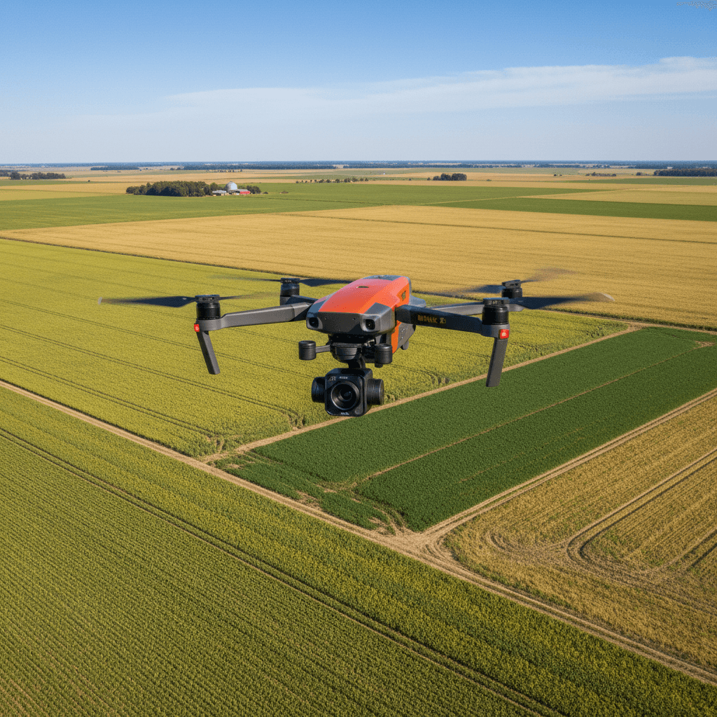
DJI Mavic 3 Multispectral hardware piloted by CAA qualified Pilot, delivering technical precision tailored to your crop requirements.
Common pricing questions
Get drone data for your fields in 48 hours
Contact SFI Land Solutions today. We'll discuss your survey needs, confirm pricing, and schedule your flight.